Welcome to PS Consulting Surveyors
...when GEO matters
We specialize in Engineering Surveys, Topographical Surveys, Cadastral Surveys as well as GIS & Aerial Mapping and Photography Surveys

Expertise Summary
PS Consulting Surveyors cc is an Engineering and Land Survey firm specializing in Engineering, cadastral, control, monitoring, and topographical surveys as well as GIS, Digital modeling, and mapping, with a potential to carry out Sea Surveying (Hydrographic survey) and Aerial survey (Photogrammetry) should the need arise. Our extensive skills encompass all aspects of Survey plans, Layout plans, Cadastral drawings, Sectional plans, stockpile surveys for cut and fill purposes and Contour plans.
Request Quotation
Our Pricing policy is based on the Tariff of fees Chargeable by Professional Land Surveyors, framed under section 31(n) of the Professional Land Surveyors, Technical Surveyors, and Survey Technicians Act 32 of 1993 and published in the Government Gazette by the Ministry of Land Reform.
Call us at the number below
Our Expertise
Our focus is on providing quality professional and consultancy services to Public and Private sector organizations as well as private individuals who might need such professional.

Cadastral Surveys
The Physical demarcation of land and property, such as: Erven, Farm boundaries, Township layouts and any such survey (i.e. subdivisions, consolidations, etc.) for the purpose of Deeds of Title registration),

Engineering Surveys
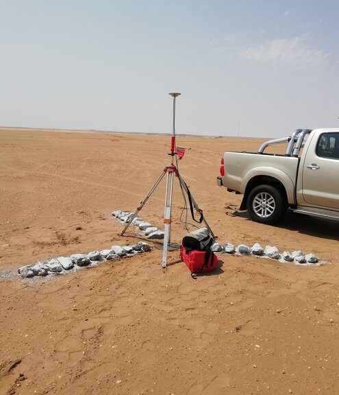
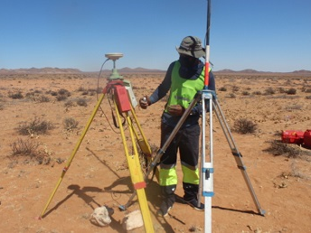
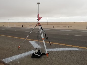
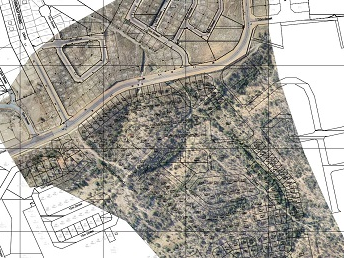
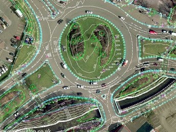
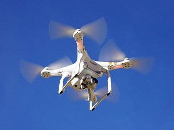
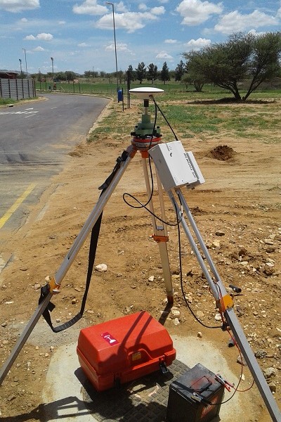
These embrace all the survey work required before, during and after any engineering work, simply, setting out of the designs of manmade features precisely at their intended positions, features such as roads, railways, areas, and volumes of excavations, curves for route alignments, bridges, airport runways, buildings, tunnels, Monitoring of Dam walls, buildings, power lines, etc

Geodetic Surveys
Establishment and measurement of high accuracy networks of points / monuments in two or three dimensions (x, y and or z) taking into account the size and shape of the earth over a given area, in most instances covering the surface area of a country, this network is fundamental in that, all other surveys are based on it

Sectional Title Surveys
These provide the tenure that is most commonly used to grant ownership to units in apartment of blocks.

Topographic Surveys
Survey and depicting of natural and man-made features of any given area on the surface of the earth also depicting the undulations of the surface of that given area in the form of spot heights, contours and represent them in 2 or 3- dimension models

Aerial Photography & survey
At PS Consulting Surveyors, this is achieved by means of unmanned aerial vehicles (UAV) also known as drones. This type of survey is used to create Digital elevation models, Digital terrain models as well as Digital surface models. These types of survey data are used in the design of structures such as roads, dams, canals, railway lines by civil and structural engineers as well as architects.

Deformation surveys
This is a systematic measurement and tracking of the alteration in the shape or dimension of an object as a result of stresses induced by applied loads.
Agriculture and forestry
Using unmanned aerial vehicles with multispectral cameras to perform soil and field analysis, crop monitoring, health assessment
3D Modelling
using accurate 3D information derived from point clouds to produce 3D as-built models that can be used for further analysis.
Mining Survey
Regularly perform various survey works for mining clients.
Survey Software integration and training
Training of survey technicians and newly Geomatics graduates on the use of survey softwares in the market especially for construction purposes.
Previous and Current Projects
In the last 11 years, we have worked on many interesting and challenging projects.
Below is a selection of some of our projects.
Address
Erf 480, Ekuku, Oshakati
Klein Windhoek, Flat No. 2, Berg Street
Call Us
Email Us
info@pscs.com.na
P.O. Box 27914 - Windhoek